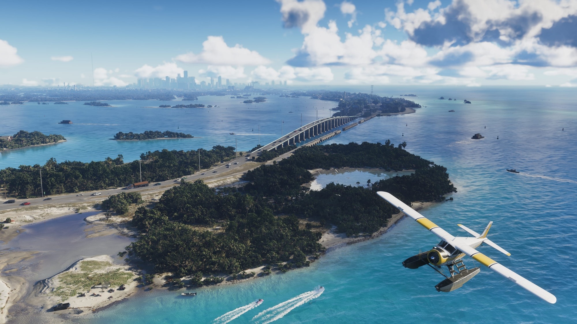
GTA 6 map: Everything you need to know about Vice City and Leonida
From the streets of Vice City to the Leonida Keys, vast wetlands, abandoned tourist towns, and northern wilderness, GTA 6's enormous map offers far more than a return to Rockstar's fictional Miami.
Vice City is only one part of Grand Theft Auto VI. Rockstar has expanded its fictional version of Florida into the state of Leonida, connecting a sprawling modern metropolis with tropical islands, industrial communities, swamp country, farmland, and national parkland. The result is the largest open world the studio has built for a Grand Theft Auto game.
The complete in-game map reveals five counties, dozens of named neighborhoods and settlements, and a substantial network of highways and waterways. Rockstar's earlier previews concentrated on six major destinations, but the finished geography extends beyond those promotional locations. Here is how Leonida fits together, how its size compares with previous Rockstar games, and what players should know before exploring it.
How big is the GTA 6 map?
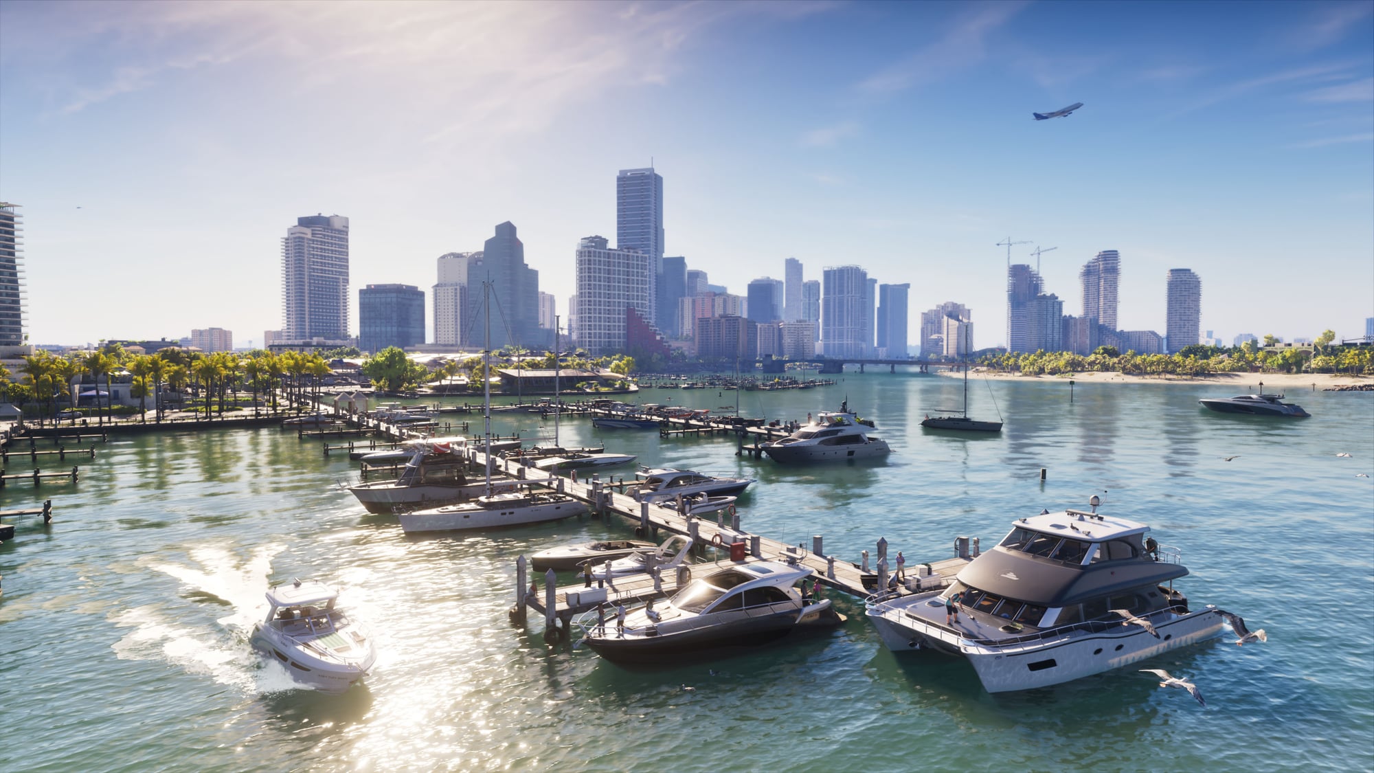
Rockstar has described Leonida as approximately twice the size of the GTA 5 map. During an August 2026 studio visit, Rockstar North head of development Rob Nelson gave content creator TGG another comparison, describing the world as around three times the size of Red Dead Redemption 2's playable area.
Early measurements published by PowerPyx estimate the map at approximately 175 square kilometers, or 67.5 square miles, spanning roughly 16 kilometers from north to south and 10.9 kilometers from east to west. Those figures are useful estimates of Leonida's overall footprint rather than an official survey of its traversable land. PowerPyx estimates that approximately 65% of the map consists of land, with water accounting for the remaining 35%.
The game divides Leonida into five counties: Vice-Dale, Mariana, Kelly, Leonard, and Lummox. These should not be confused with the six destinations Rockstar highlighted before release, which are Vice City, the Leonida Keys, Grassrivers, Port Gellhorn, Ambrosia, and Mount Kalaga National Park. Several of those destinations share counties, while others sit inside larger geographical areas.
The important difference from GTA 5 is the distribution of the playable world. Los Santos dominated the southern portion of San Andreas, with Blaine County providing a largely rural contrast. Leonida contains several substantial settlements outside its largest city, and the surrounding landscape features more distinct communities, waterways, industrial centers, and recreational areas.
Vice City is bigger and more detailed than ever
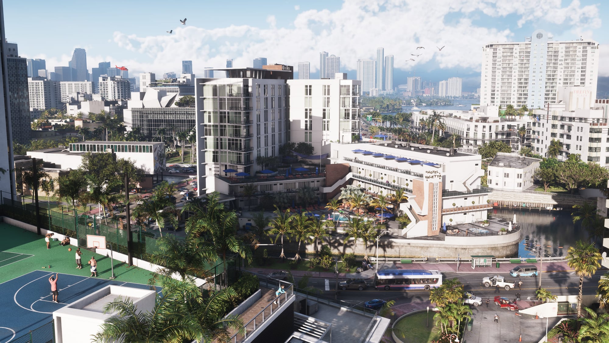
Vice City remains the centerpiece of the map, occupying much of southeastern Leonida in Vice-Dale County. Its modern setting replaces the original game's 1980s atmosphere with contemporary Miami-inspired architecture, high-rise developments, crowded beachfront neighborhoods, and a much larger urban road network.
Several recognizable locations return, including Ocean Beach, Washington Beach, and Starfish Island. Ocean Beach retains its distinctive art deco hotels and white sand, while Little Cuba draws inspiration from Miami's Cuban-American neighborhoods. Its panaderías, street markets, and local businesses give the area a different character from the expensive waterfront developments elsewhere in the city.
The wider urban area includes Downtown, Southside, Rockridge, Crosstown, Bayside, La Perle, Stockyard, and the Decor District. The Rialto Islands and Starfish Island introduce wealthy residential neighborhoods, while the VC Port functions as a major shipping and cruise destination. Vice City International Airport, abbreviated VCIA on the map, provides another substantial landmark away from the beachfront.
The city's scale creates a different problem for exploration than the surrounding countryside. Elevated highways, bridges, narrow streets, and dense traffic make straight-line distances misleading. Reaching a destination across the water may require navigating a bridge or highway interchange, while traveling through Downtown can involve significantly more traffic than using the outer roads.
There is also more reason to explore on foot. Rockstar has substantially increased the number of accessible interiors, with multistory shops, commercial spaces, and some buildings containing working elevators. Not every building is enterable, and impressive exterior detail should not be mistaken for universal interior access.
The Leonida Keys and Grassrivers cover the southern wilderness
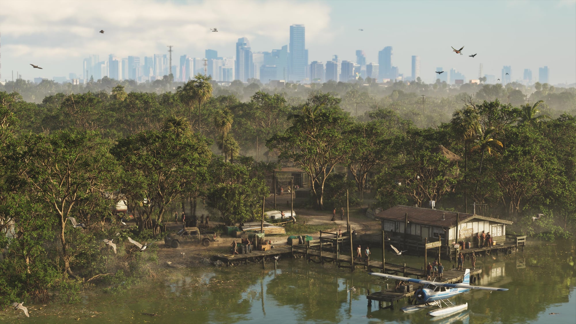
The Leonida Keys stretch across the southern portion of the state, taking inspiration from the Florida Keys. The archipelago includes Key Lento, Southwind, Watson Bay, and numerous smaller islands linked by bridges or separated by open water.
Key Lento is particularly important because it serves as an early-game location for Jason. The surrounding area contains marinas, small businesses, waterfront homes, and establishments such as the Rusty Anchor. Away from the main roads, the islands offer access to boating, fishing, diving, and the coastal environment that distinguishes southern Leonida from Vice City.
The surrounding seas are a substantial part of the map rather than an empty boundary. Underwater exploration introduces marine wildlife, shipwrecks, and opportunities to investigate areas inaccessible by road. The number of islands also makes boats useful for practical travel rather than merely recreational vehicles.
Farther inland, Grassrivers provides Rockstar's interpretation of the Florida Everglades. This region is dominated by marshes, winding waterways, isolated buildings, and dangerous wildlife. Its geography encourages a different approach to exploration, with airboats and other watercraft better suited to some routes than ordinary cars.
Alligators are among the region's most recognizable inhabitants, but the wetlands contain a wider range of birds, reptiles, and other animals. Hunting and wildlife observation give players reasons to leave the roads, while the region's isolated settlements and strange residents introduce another side of Leonida's population.
The two southern environments complement each other despite their proximity. The Keys emphasize coastal recreation, small communities, and open water, while Grassrivers concentrates on difficult terrain, wildlife, and the hazards of moving through remote wetlands.

Port Gellhorn and Ambrosia bring two different sides of rural Florida
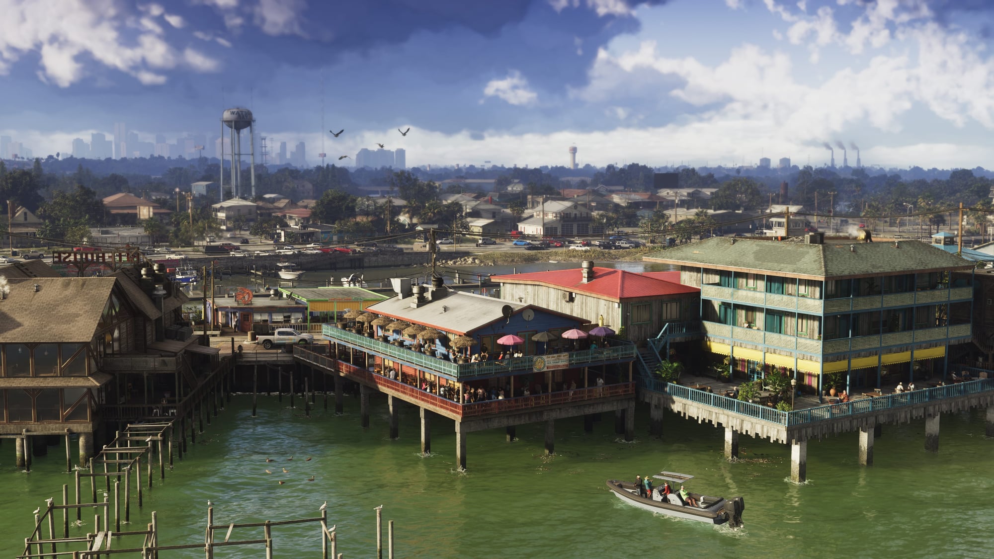
Port Gellhorn occupies part of Kelly County in western Leonida. Once a popular tourist destination, the town has fallen into decline, leaving abandoned attractions, deteriorating motels, and shopping centers that no longer attract the visitors they were built to accommodate.
Locations such as the Starlet Motel and Delights Cabaret illustrate the area's economic condition, while its bars and criminal activity suggest that the town has developed a different economy from its former tourist trade. Gellhorn Raceway provides a recognizable destination for racing, giving the surrounding region an activity distinct from Vice City's street network.
Ambrosia, meanwhile, is an industrial community associated with Leonard County and the Lake Leonida area. Its economy is built around the Allied Crystal sugar refinery, while local biker gangs exert influence over the surrounding communities.
The contrast between the two settlements is deliberate. Port Gellhorn represents a tourist economy that has deteriorated, while Ambrosia remains tied to industrial production and the communities surrounding it. Both offer a more economically troubled version of Leonida than Vice City's expensive apartments and beachfront businesses.
Lake Leonida is another significant geographical feature. As the state's largest inland body of water, it provides a natural landmark between several rural areas and helps break up the extensive road network crossing the northern and central parts of the map.
Rockstar's environmental research also extended into smaller Florida communities, including areas influenced by Jacksonville, Ocala, and Panama City. Farms, private airstrips, working forests, and roadside businesses help establish the differences between these settlements rather than treating every town outside Vice City as interchangeable countryside.
Mount Kalaga brings forests, rivers, and off-road exploration
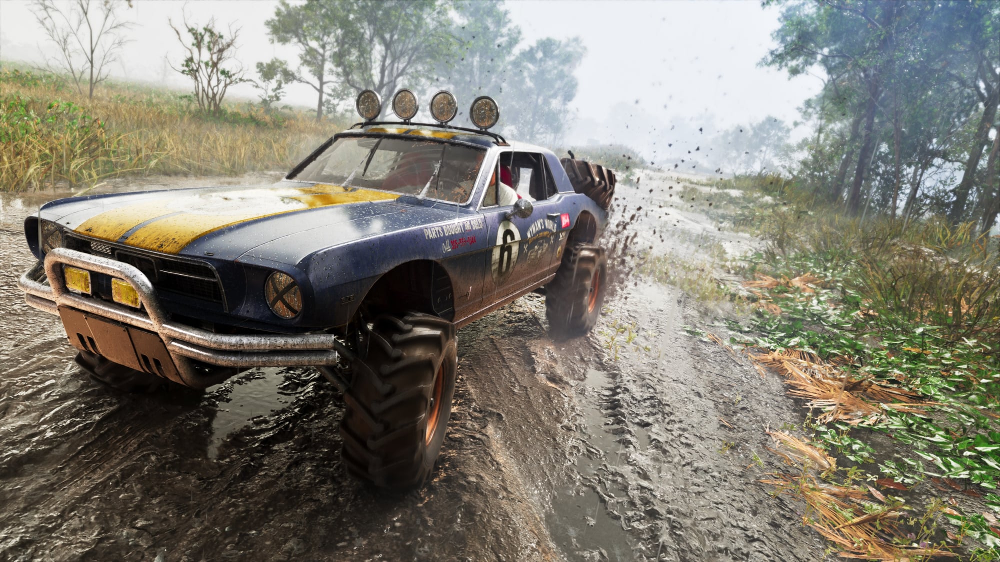
Mount Kalaga National Park dominates much of northern Leonida, particularly the territory associated with Lummox County. It offers a substantial change from the tropical landscape of the Keys and the dense urban construction of Vice City.
The park includes forested hills, rivers, reservoirs, and extensive wilderness trails. Players can take part in hunting, fishing, kayaking, and off-road driving, while the surrounding countryside contains isolated communities and people who have deliberately distanced themselves from mainstream society.
Wildlife is a major reason to visit. Deer and mountain lions inhabit the region, creating different hunting conditions from the alligator-filled wetlands in the south. The forests also provide room for activities that would be impractical in Vice City's tightly packed neighborhoods.
The wider northern map includes additional geographical features such as Lake Tallaloko, Kalaga Reservoir, and Dawson Dam. Small settlements, industrial areas, and remote roads extend beyond the national park itself, providing connections between the wilderness and Leonida's working communities.
Rockstar's attention to the northern landscape is particularly important because open-world countryside can easily become little more than distance between missions. Mount Kalaga's combination of outdoor recreation, wildlife, and settlements gives players reasons to explore the northern reaches of Leonida independently of the main story.
How the GTA 6 map works for exploration and navigation
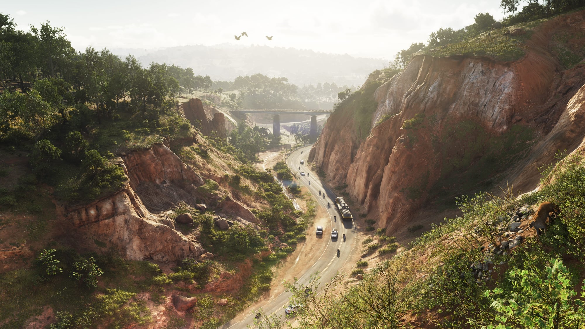
The in-game map initially displays the broad outline of Leonida while leaving unexplored areas obscured. Traveling through the world reveals additional geographical detail, roads, and local points of interest. Players therefore build a more complete understanding of the state through exploration rather than receiving every location immediately.
A searchable map index helps organize discovered activities. Its categories separate story missions, robberies, personal properties, vehicles, weapons, shopping, and exploration opportunities. Players can use the index to locate their garages, vehicles, shops, and other destinations without manually searching the entire map.
Exploration markers also help track activities such as stunt jumps, points of interest, and optional encounters. Racing locations, fishing spots, gyms, and other recreational activities appear under their respective categories once discovered. This organization becomes increasingly important as the map fills with icons.
Transport is another consideration. Driving remains the primary way to explore Leonida, but public buses, trains, taxis, and rideshare services provide alternatives. The Paradise Taxi service and RydeMe app can arrange journeys, with options to skip the ride for an additional fee. Ferries provide connections between certain coastal destinations, while the public transportation network offers scheduled services.
There is no universal option to select any point on the map and instantly teleport there. Transport services generally require payment, access to the appropriate service, or travel to a station. This makes routes and transport infrastructure more relevant than they were in earlier Grand Theft Auto games.
Vehicles also require fuel and maintenance, making long journeys through rural Leonida more demanding. Gas stations and repair shops are worth identifying before traveling away from the major settlements, particularly when heading into wilderness regions with fewer services.
Official maps, interactive maps, and community reconstructions
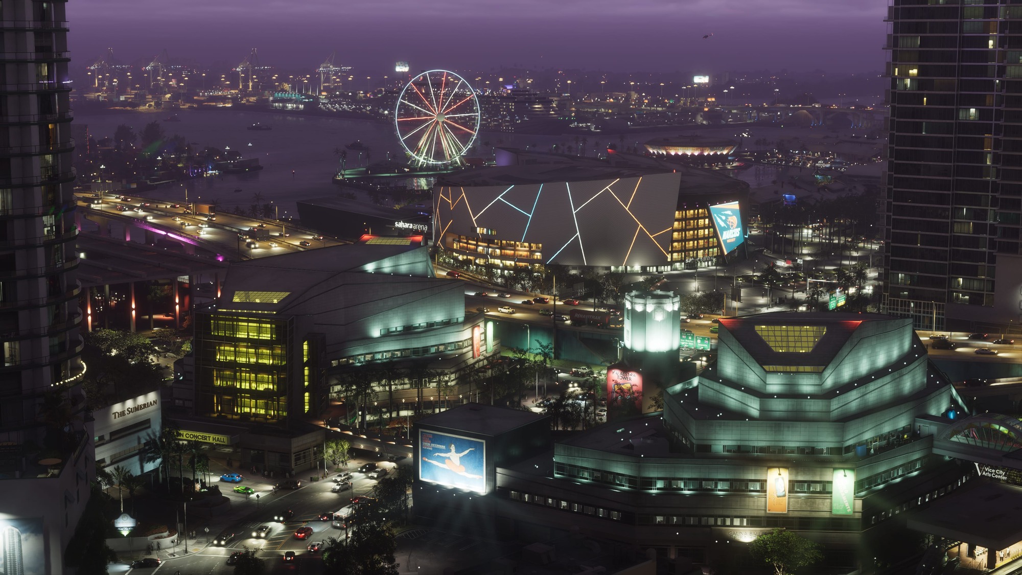
The GTA community spent years attempting to reconstruct Leonida from screenshots, promotional artwork, and trailer footage. These projects identified recognizable buildings, roads, and coastlines, but their accuracy varied because they depended on incomplete visual evidence.
The game now provides a more reliable reference through its in-game map. PowerPyx published a complete map overview on November 18, documenting the five counties and major named locations. Rockstar also announced a free printable map of Leonida for its official website on November 19, giving players another way to examine the state's overall geography.
Third-party interactive maps offer additional functionality, including searchable locations, category filters, and progress tracking. Their usefulness depends on whether individual markers have been verified against the released game. Some still incorporate locations reconstructed from promotional footage, so precise collectible locations and building access should be checked against updated in-game information.
A detailed map is particularly valuable for GTA 6 because the size of Leonida makes revisiting distant locations a substantial commitment. Finding a remote activity is only part of the process. Players must also consider road access, nearby services, transport options, and whether the destination is best approached by land, sea, or air.
Leonida's most interesting geographical feature is ultimately the distance between its different ways of life. A journey can begin among Vice City's skyscrapers, continue through industrial towns and working farmland, and end in remote forests or coastal wetlands. Rockstar has built a map where traveling beyond the largest city means encountering another recognizable part of its fictional Florida, not simply leaving the main attraction behind.

Grand Theft Auto VI heads to the state of Leonida, home to the neon-soaked streets of Vice City and beyond in the biggest, most immersive evolution of the Grand Theft Auto series yet.


